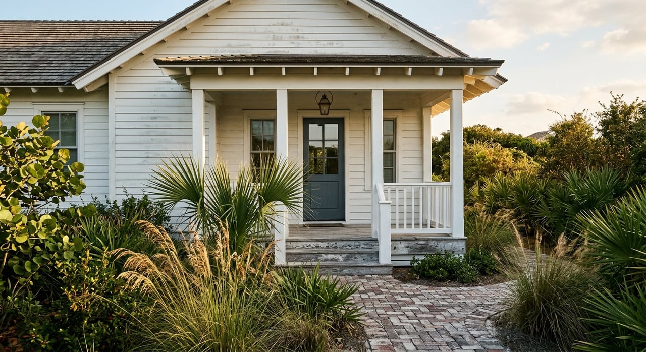
Trying to choose between calm bay days or surf-side sunsets for your next 30A West home? You are not alone. In Point Washington and the west end of 30A, you can live minutes from both Choctawhatchee Bay and the Gulf, yet the lifestyle and logistics feel very different. This guide breaks down access points, boating realities, recreation, flood and permitting basics, and resale signals so you can buy or sell with confidence. Let’s dive in.
Bay vs Gulf around 30A West
Point Washington sits between the protected uplands of Point Washington State Forest and two distinct waters: Choctawhatchee Bay to the north and the Gulf of Mexico to the south. The bay is a large, shallow estuary connected to the Gulf via Destin’s East Pass, with bayous and creeks creating quiet back-bay waters. The Gulf side offers open-water surf and broad white-sand beaches. Both systems are part of a connected regional waterway network that boaters and paddlers use, including Choctawhatchee Bay and East Pass.
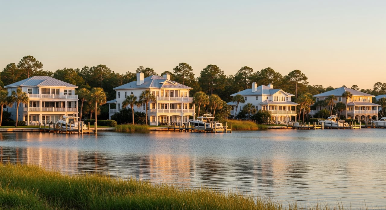
Bay-side living in Point Washington
Bay waters are generally calmer and shallower, which suits kayaking, paddleboarding, family boating and inshore fishing. You get sheltered mooring, warmer water, and often great sunset views. The trade-off is depth and tides. Larger vessels may be limited by shallow approaches, and reaching the Gulf usually means transiting channels to East Pass.
Bay-front and near-bay homes often appeal to anglers and families who value quieter water and easier launching. If you want the most convenient beachgoing and surf, Gulf-side may fit better. Either choice keeps you close to trails and conservation lands around the state forest.
Bay launch points near you
- Point Washington Landing public boat ramp in Tucker Bayou offers a ramp, docks, parking and a fish-cleaning station.
- Cessna Landing on Hogtown Bayou provides a multi-lane ramp, courtesy dock and restrooms for larger trailer traffic.
- Kellogg Bayside Park has a kayak/canoe/SUP launch and small-boat access with picnic and fishing areas.
- The Eden Gardens State Park kayak launch offers simple paddle access near Point Washington.
Gulf-side living along 30A
Gulf-side beach living delivers classic white sand, emerald water and a lively beach scene. You will find swimming, surfing on the right days, and easy access to regional beach accesses with seasonal lifeguards. For addresses and amenities, the Discover 30A beach and bay access guide lists regional and neighborhood walkovers, restrooms and parking.
Unique to 30A, coastal dune lakes occasionally outfall to the Gulf, creating special paddling and wildlife experiences. Learn why these lakes are globally rare in this overview of 30A’s coastal dune lakes.
Boating and navigation realities
Getting from a bay-side dock to the open Gulf typically involves navigating channels to East Pass in Destin. The pass is engineered and maintained, but conditions are dynamic. Currents and shoaling change over time, and depths are actively managed. If offshore trips are a priority, check technical background on East Pass and bay hydraulics and current charts before assuming unrestricted passage. For a broad primer on the waterbody, see Choctawhatchee Bay.
Flood, insurance and permitting
Proximity to either shoreline increases flood considerations. Gulf-front parcels face coastal surge and wave action, while bay-side lots can experience tidal flooding and estuarine surge. Verify your property’s FEMA flood zone and Base Flood Elevation through Walton County Floodplain Management, and obtain an elevation certificate and insurance quotes early.
If you plan improvements like docks, lifts or shoreline work, expect layered reviews. Permitting often involves state and federal agencies, and conservation areas around the state forest and dune lakes impose extra constraints. Start due diligence early and keep documentation handy for buyers.
Which side fits your goals?
- Choose bay-side if you want calm, shallow water, easy paddling and family boating, sheltered sunsets and a quieter feel.
- Choose Gulf-side if you want surf and swimming, larger beach areas, and proximity to regional beach accesses and seasonal lifeguards.
- For boating beyond the bay, factor your vessel’s draft, nearest channels and the run to East Pass.
Buyer checklist for 30A West
- Flood and elevation: Verify FEMA FIRM zone, request a parcel determination and ask about Community Rating System benefits through Walton County Floodplain Management. Obtain an elevation certificate if needed.
- Access and rights: Confirm deeded beach or bay access versus community or county access. Check rules for docks, lifts or seawalls and any conservation buffers.
- Navigation plan: Measure water depth off your shoreline at low tide, map your route to East Pass, and review known shoaling patterns using technical East Pass resources.
- Insurance and carrying costs: Get NFIP and private-market quotes, ask about any prior flood-loss history and factor mitigation costs.
Seller tips to showcase access
- Describe access clearly: state deeded dock, deeded beach or bay access, or proximity to public facilities. Include names and distances, such as the Point Washington Landing boat ramp or Cessna Landing.
- Provide flood-zone info and direct buyers to Walton County Floodplain resources for verification. If available, share elevation certificates and known records.
- Highlight nearby parks and unique features. Reference the Discover 30A access index and the area’s coastal dune lakes to paint a clear lifestyle picture.
Ready to align your lifestyle and investment on 30A West? We pair on-water expertise with data-driven strategy to help you compare bay access and Gulf-side living, price with confidence and prepare for a smooth closing. Reach out to Katie Atwater and Mike Henderson for a private consult.
FAQs
Can you keep a big boat on a bay-side lot near Point Washington?
- It depends on local depth, tides and channel proximity. Bay waters are shallower, so verify measured depths and permits before purchase using Choctawhatchee Bay background and local checks.
Are 30A West Gulf-side homes always more valuable than bay-side?
- Gulf-front often carries a premium due to beachfront frontage and rental demand, but values vary by exact location, views, lot size, insurance and market cycle. Use current MLS data and local reports for parcel-level comparisons.
Do you need flood insurance for bay or Gulf property in Walton County?
- Many bay- and Gulf-adjacent parcels fall in Special Flood Hazard Areas where lenders require coverage. Confirm your zone and Base Flood Elevation through Walton County Floodplain Management and obtain quotes.
Where can you launch a boat near 30A West?
- Popular options include Point Washington Landing, Cessna Landing and Kellogg Bayside Park. Check each site for ramp size, parking and hours.